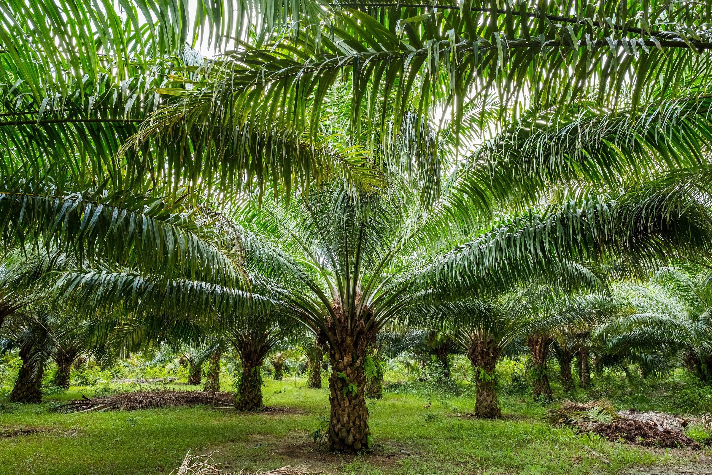
Aborlan lies on a broad plain between the Sulu Sea and the mountains of south-central Palawan, 68 km south of Puerto Princesa on the road south. It is home to Western Philippines University, which began as the province's agricultural college.
Municipality of 19 barangays, 807.33 km² of land.
Aborlan lies on a broad plain between the Sulu Sea and the mountains of south-central Palawan, 68 km south of Puerto Princesa on the road south. It is home to Western Philippines University, which began as the province's agricultural college.
Around Aborlan
Aborlan holds the Rakudan Festival every June; the name is Palawano for 'gathering in an agreed place', and roast pig is featured.
Reef
Seven Line Reef
Reef in Aborlan's marine territory, declared a marine protected area by the municipal council in 2016; an initial record lists 229 target fish species.
Beach
Apurawan Beach
A beach in Aborlan whose landing site hosted a counter-landing live-fire exercise during the Balikatan joint military drills in April 2026.
In town
Western Philippines University farms
University farms that are a stop on the municipal Aborlan Farms Tour, alongside local coffee, cacao and dairy farms and a pottery.
A short history
Aborlan was organised in 1910 as a municipal district and reservation, and in 1916 the Tagbanua elected their own mayor and vice mayor for the first time. It became a full municipality in 1949.
Local stories give several origins for the name, including Abelnan, a legendary tree of the gods. The Rakudan Festival, from a Palawano word for a gathering in an agreed place, is held every June.
The way in
Puerto Princesa
From Puerto Princesa: By road south, 68 km.
Aborlan
Nearest gateway. Puerto Princesa International Airport, 68 km north by road
Before you go
Fees, rules and schedules change. Check them with the town.
- Official pages
- None confirmed for Aborlan yet. The LGU directory is updated as offices are confirmed.
- Local government
- Municipality of Aborlan
- Sources
Sources (7)
- PSGC code 1705301000 and 19 barangaysPSGC API, data from the PSA Philippine Standard Geographic Code (psgc.gitlab.io; release not stated by the mirror, counts cross-checked with psgc.cloud and PhilAtlas)
- Land area 807.33 km² (PSA 2013 figure) and barangay countAborlan, Palawan Profile, PhilAtlas
- Plain between the Sulu Sea and the mountains, 68 km south of Puerto Princesa; Western Philippines University; municipal district from 1910; Tagbanua election of 1916; municipality in 1949; name stories; Rakudan Festival in JuneAborlan, Wikipedia
- Aborlan holds the Rakudan Festival every June; the name is Palawano for 'gathering in an agreed place', and roast pig is featured.Aborlan - Wikipedia
- Seven Line ReefDeclaration of Seven Line Reef in Aborlan as protected seascape sought - Palawan News
- Apurawan BeachBalikatan 2026 sa Palawan - Philstar (Banat)
- Western Philippines University farmsAborlan eyes cruise tourism, expands tour packages - Palawan News