
Skip to content
This isPalawan

This isPalawan

Twenty-three towns and one city, island by island, from the Calamianes to Balabac.

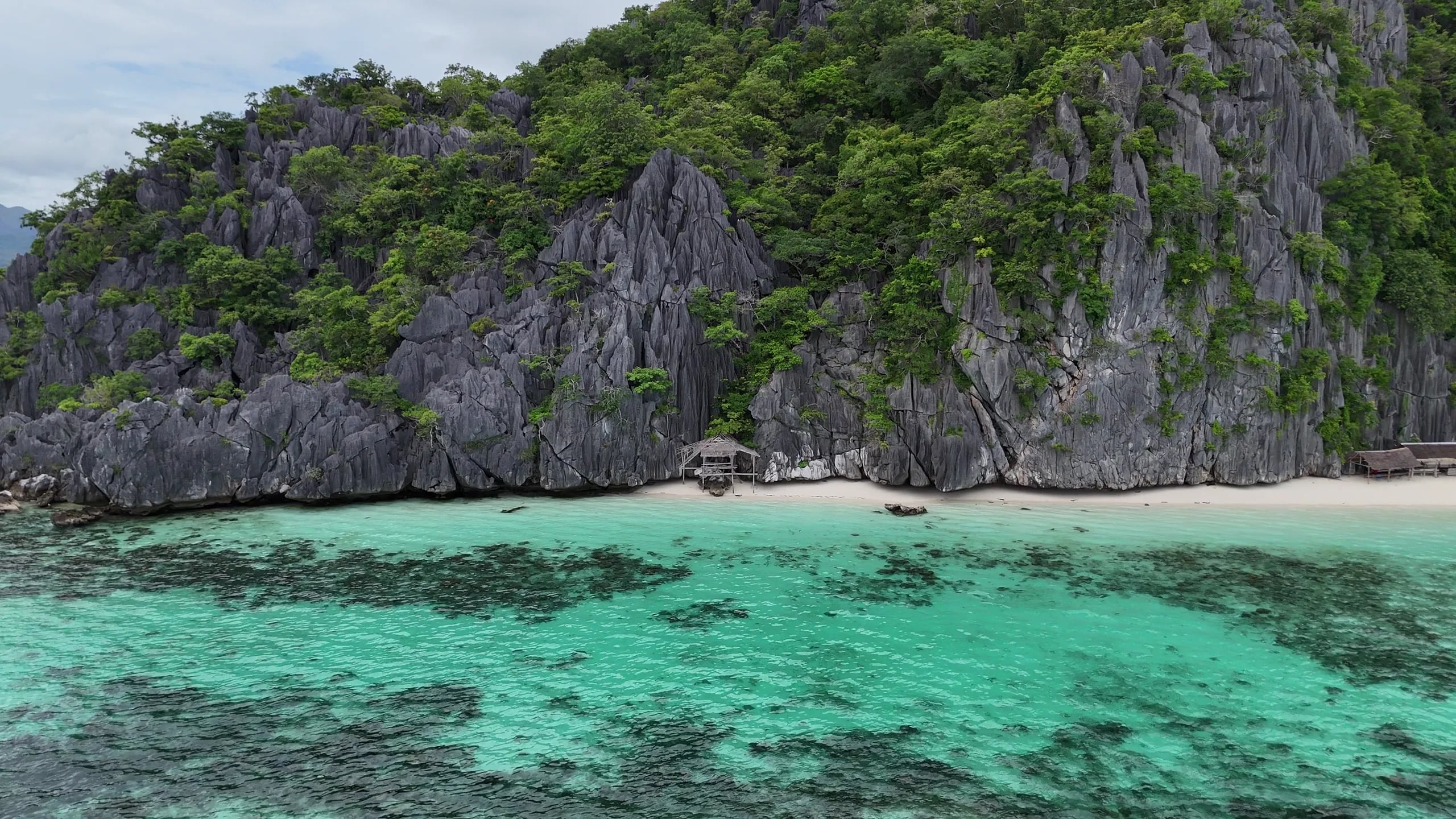
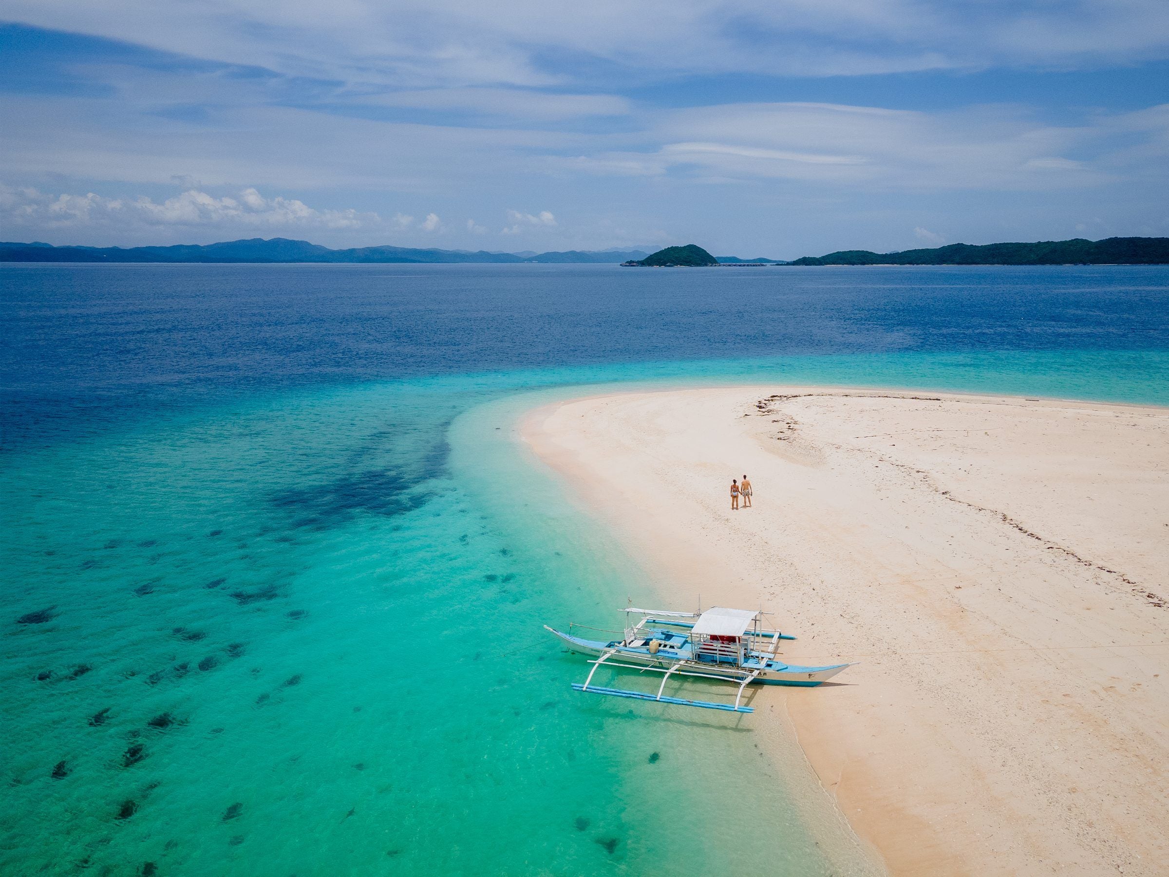
Footage: Mark Jefferson Gabileo, via Pexels

Begin the voyage

Before the voyage

The island, end to end

Twenty-three municipalities and one city, from the Calamianes down to Balabac. The figures are the province’s own, and every page in this guide carries the source behind them.

The province, measured

Local governments
23 municipalities, one city
Barangays
433
Land
17,031 km²
Highest point
Mt. Mantalingahan, 2,085 m
Listed by UNESCO
Tubbataha Reefs Natural Park (1993) · Puerto-Princesa Subterranean River National Park (1999) · Palawan Biosphere Reserve (1990)

Start with these

Where most trips begin

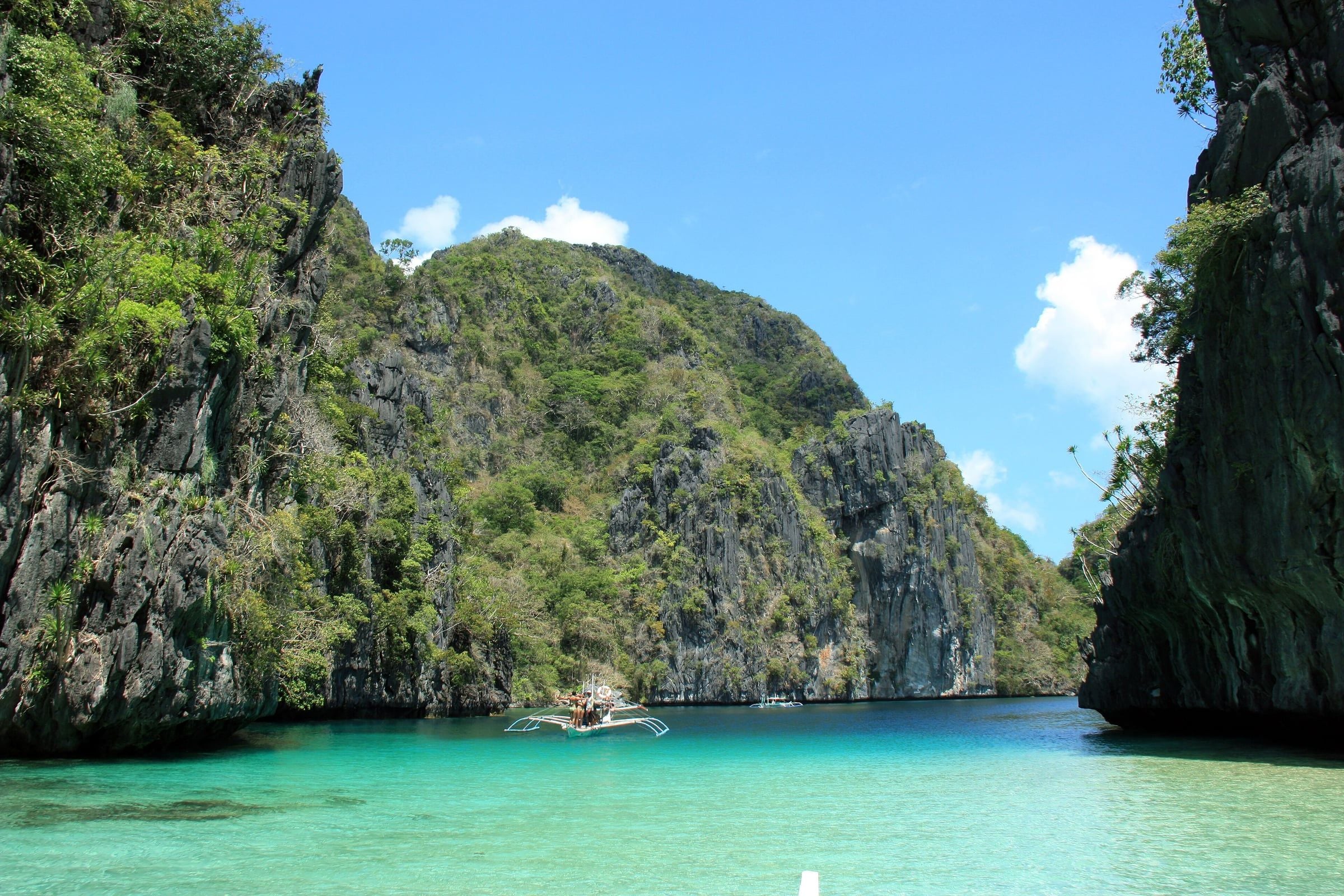
El Nido and Coron are why most people come, and the lagoons they are known for are a boat ride offshore from both. They are towns on this map, and so are the other twenty-two.

01 / 0811°48′N 120°01′E

Calamianes

Busuanga, Coron, Culion and Linapacan

Twin LagoonPatrickroque01, CC BY-SA 4.0, via Wikimedia CommonsFootage: Florian Delée, via Pexels

The Calamian Islands sit at the northern end of Palawan, between Mindoro and the mainland, where the South China Sea meets the Sulu Sea. Four municipalities share them: Busuanga and Coron on Busuanga Island, Culion on its own island to the south, and Linapacan, a town made entirely of islands.

Coron Island is a Tagbanua ancestral domain, Calauit has been a wildlife sanctuary since the 1970s, and the Japanese ships sunk in September 1944 now lie on the floor of the bays around Coron.

Explore Calamianes

Scroll to explore

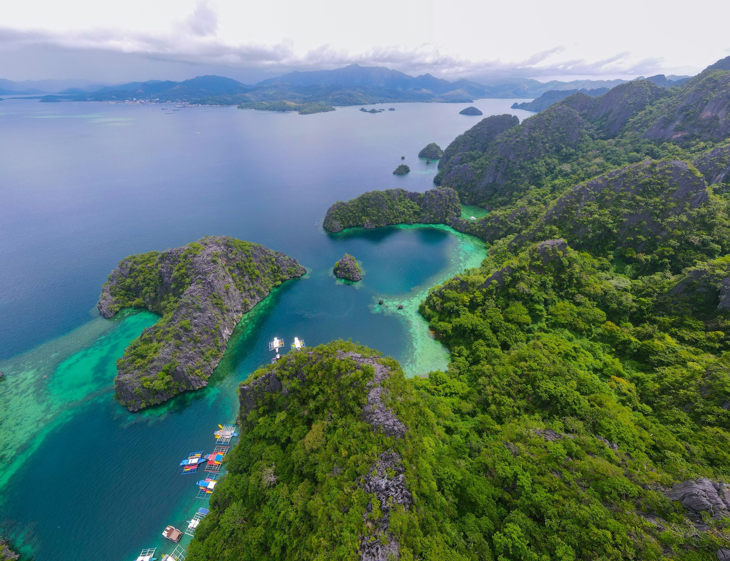
  • Coron from the air: forested limestone islands, turquoise lagoons and boats moored between them
    Florian Delée, via Unsplash, Unsplash License
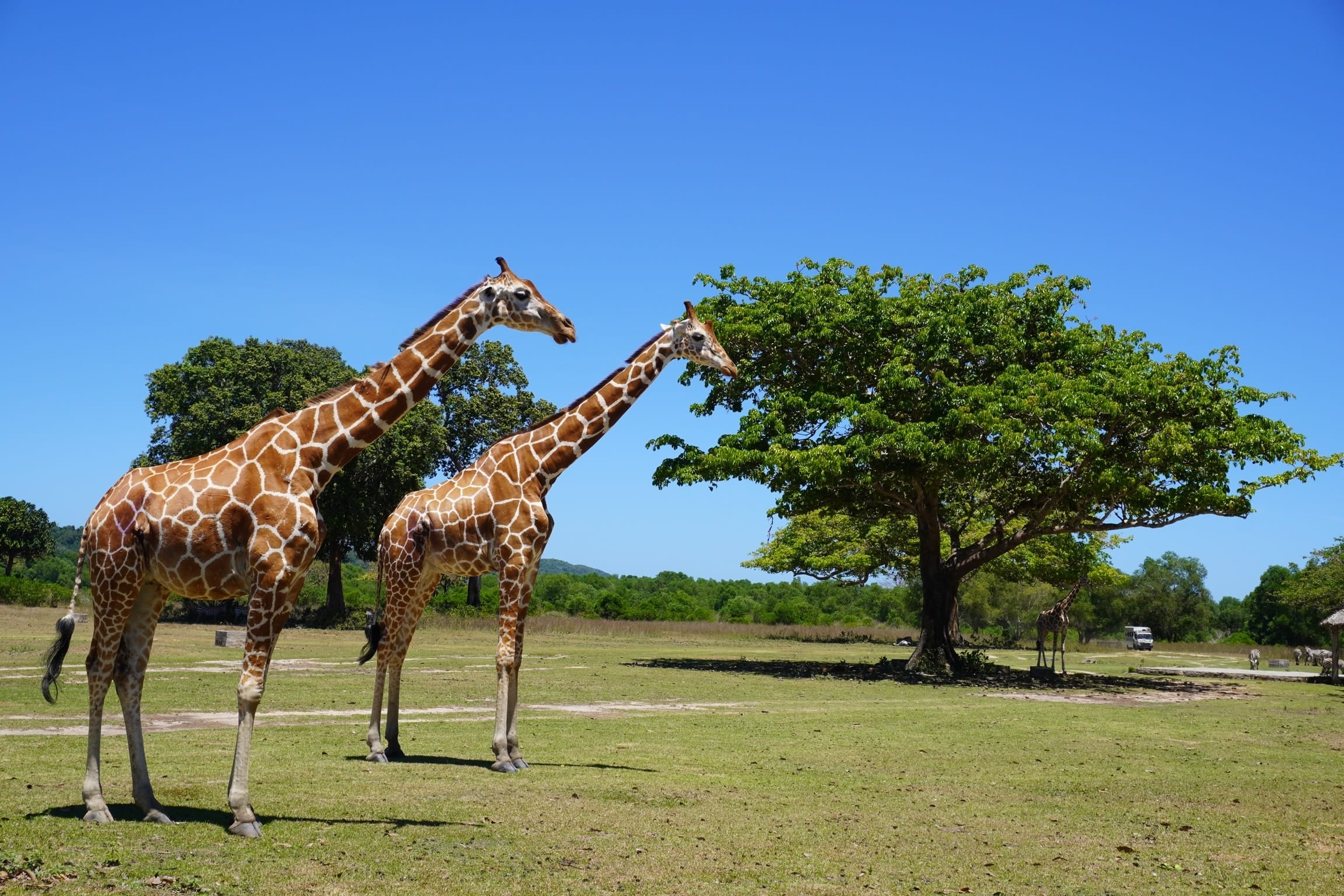
  • Two reticulated giraffes on open grassland under a clear sky at Calauit Safari Park, Busuanga
    Calauit Safari ParkJohn Michael Tadeo, CC BY-SA 4.0, via Wikimedia Commons
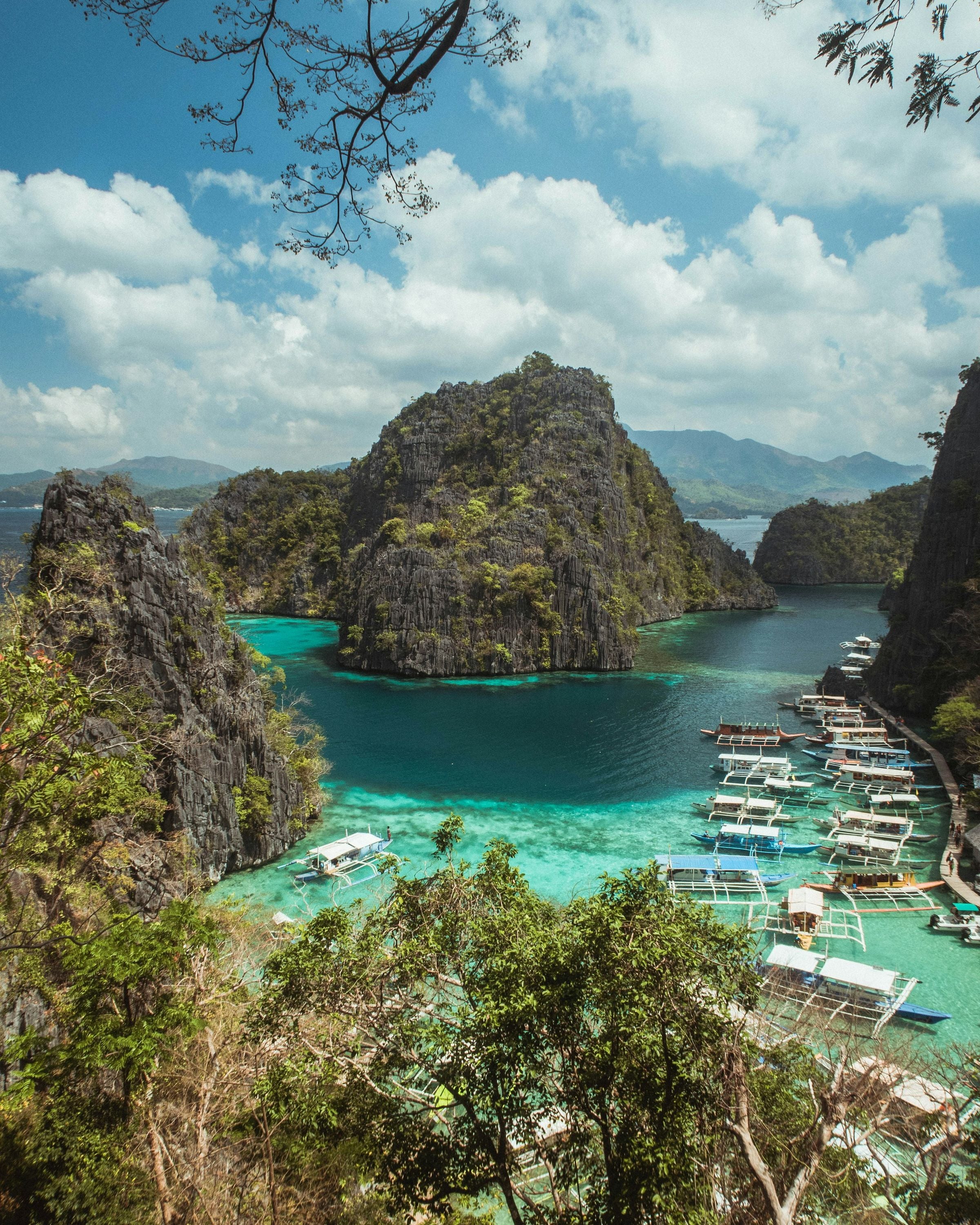
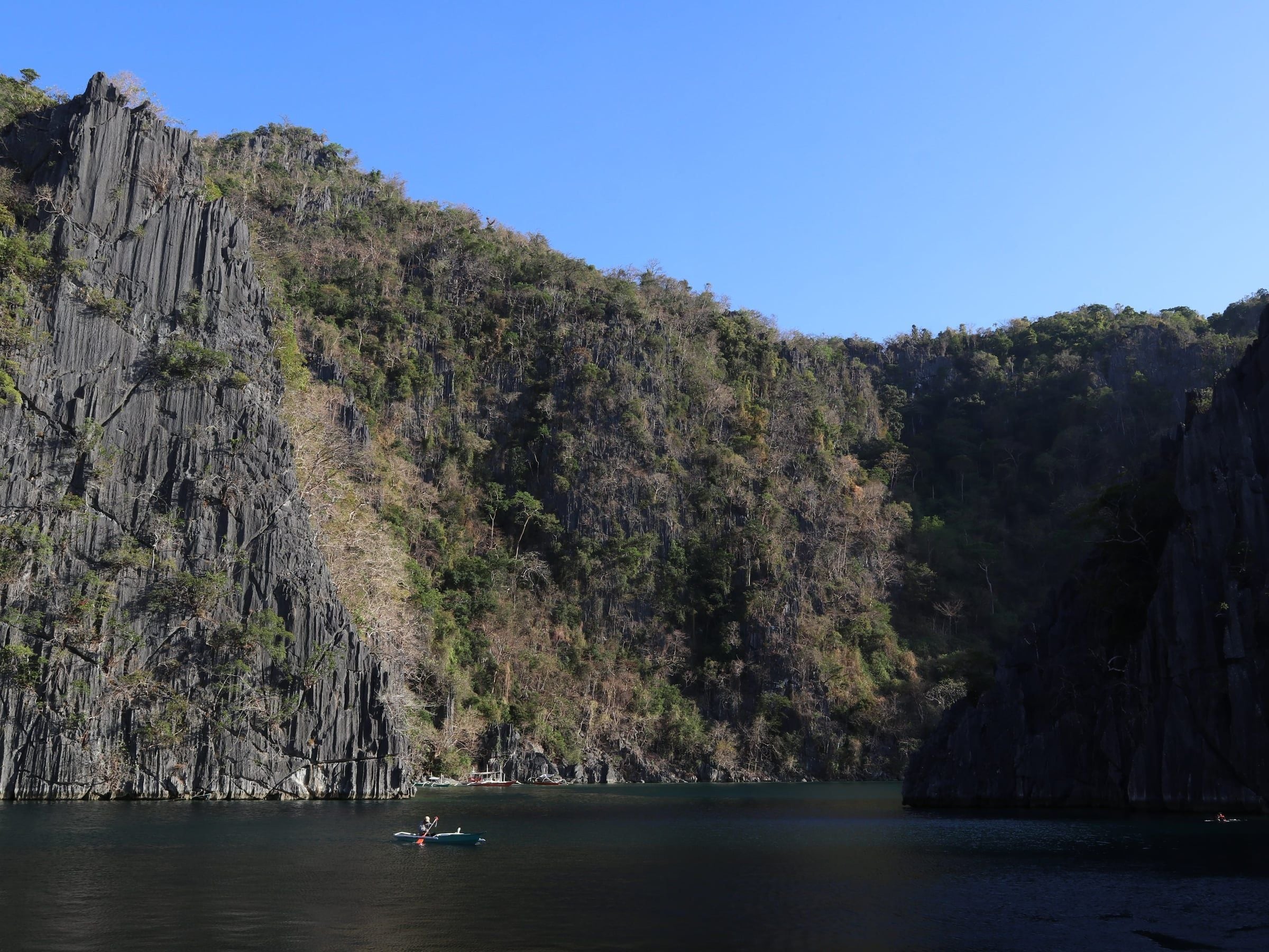
  • Limestone islets above the turquoise cove below the Kayangan Lake viewpoint, with outrigger boats moored along the shore, Coron Island
    Kayangan LakeGiuliano Gabella, via Unsplash, Unsplash License

02 / 0810°59′N 119°29′E

El Nido and Taytay

El Nido and Taytay

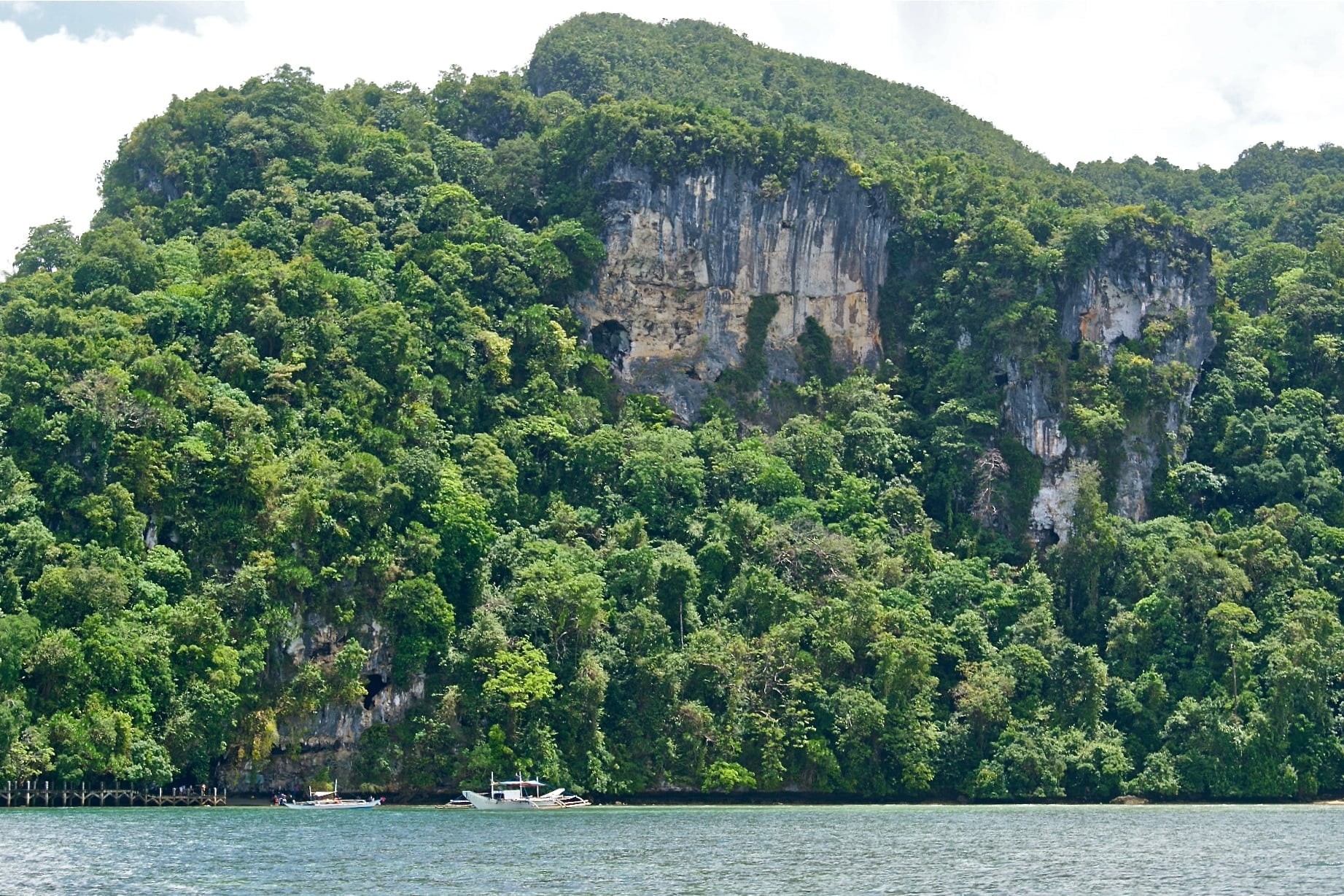
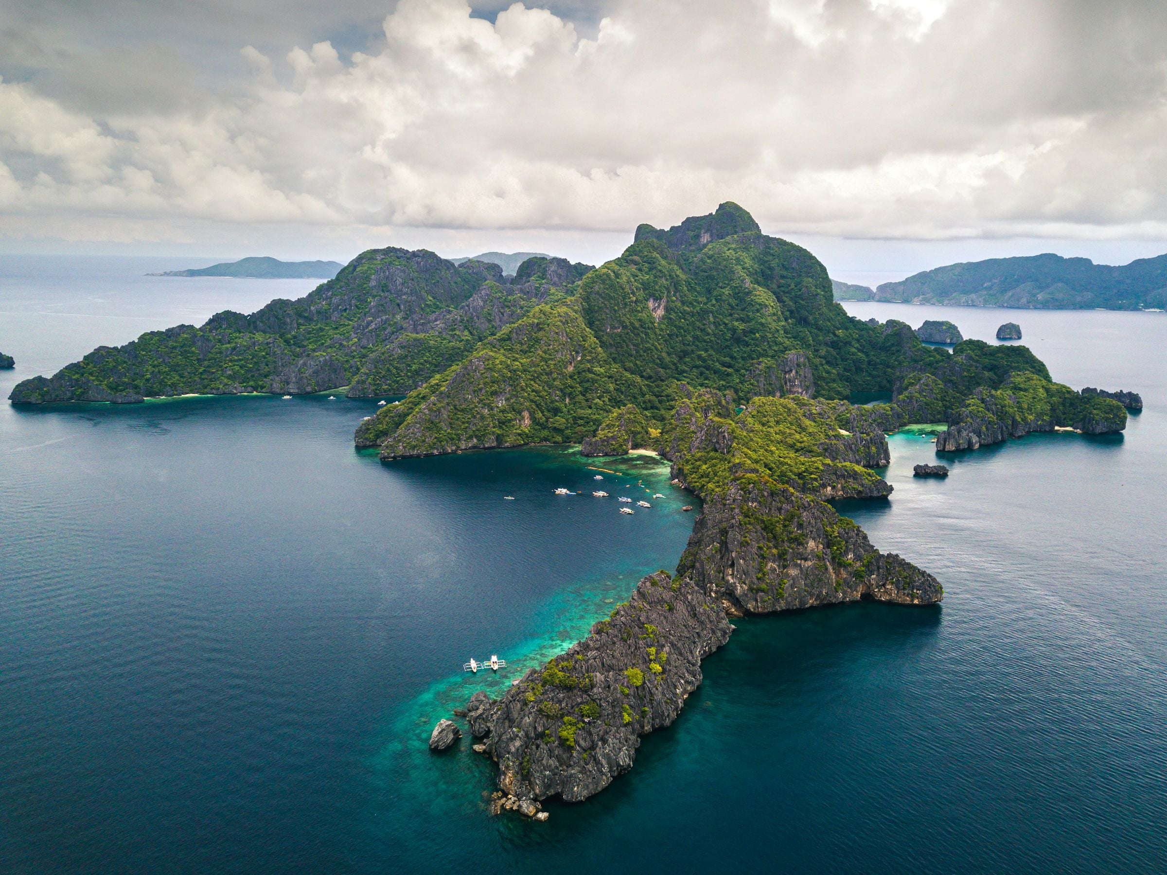
Forested limestone islands off El Nido from above, with boats anchored over the reef in a sheltered cove

Limestone & lagoon

El Nido and Taytay share the northern mainland and the El Nido-Taytay Managed Resource Protected Area, about 903 km² of land and sea declared in 1998. El Nido looks over Bacuit Bay and its limestone islands; Taytay holds Malampaya Sound, home to the Irrawaddy dolphin.

Taytay, founded by Augustinian Recollects in 1623 and once capital of the Spanish province of Calamianes, keeps its seventeenth-century fort.

Explore El Nido and Taytay
Alejandro Luengo, via Unsplash, Unsplash LicenseFootage: Mark Jefferson Gabileo, via Pexels

03 / 0810°22′N 120°59′E

Sulu Sea Islands

Agutaya, Magsaysay, Cuyo and Cagayancillo

An island archive
10°22′N 120°59′E

Out in the Sulu Sea, east of the mainland, lie the Cuyo Archipelago and the reef islands of Cagayancillo. Cuyo and Magsaysay share Cuyo Island, Agutaya holds the eastern islands of the group, and Cagayancillo is the closest settlement to Tubbataha Reefs.

This is the home of the Cuyonon language and culture, and of Spanish-era forts at Cuyo, Agutaya and Cagayancillo that still enclose their churches.

Explore Sulu Sea Islands

Plate 01

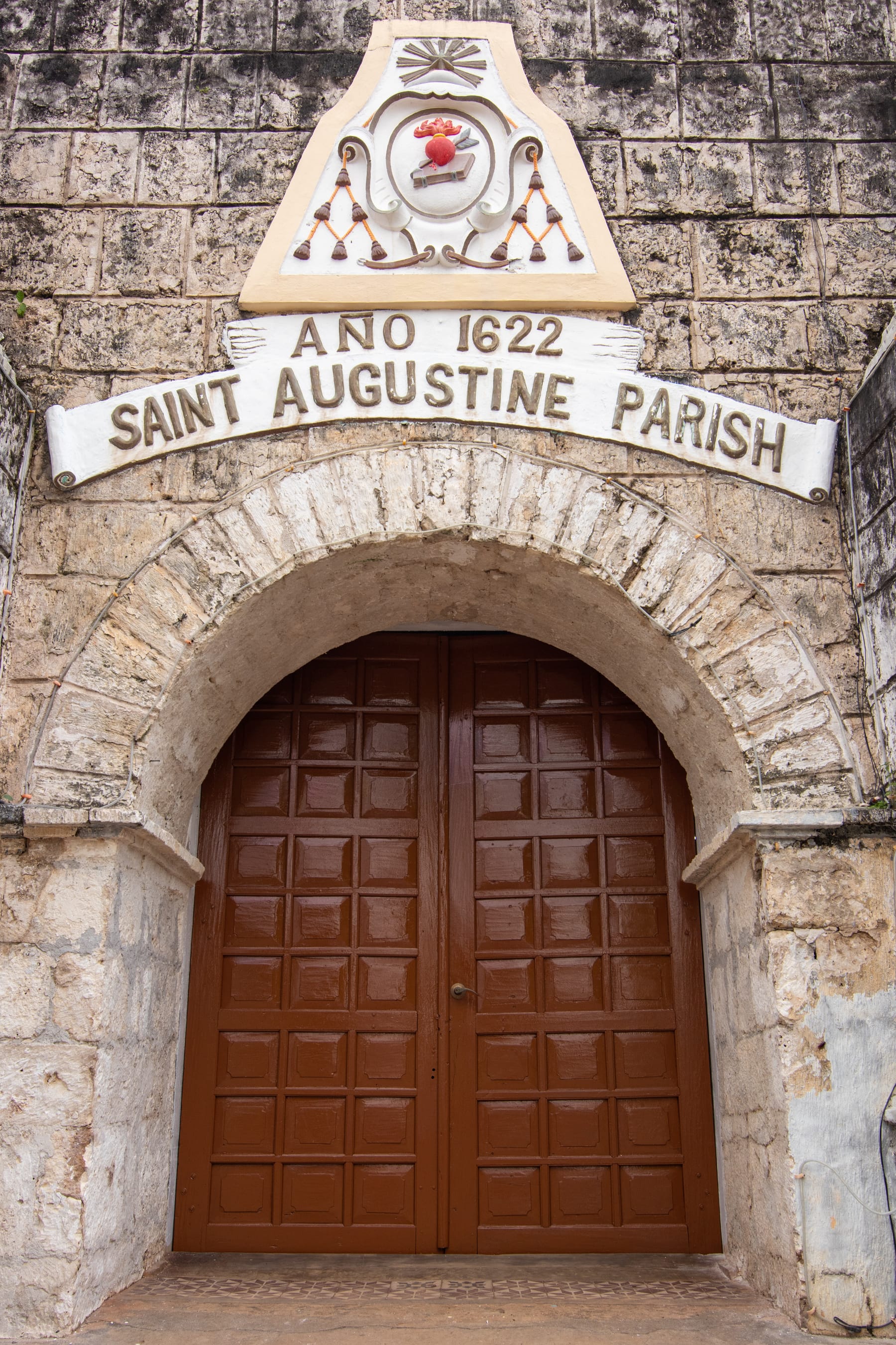
Stone archway of Fort Cuyo framing the wooden doors of Saint Augustine Parish, dated Ano 1622
Fort CuyoCarlito Palatino, CC BY-SA 4.0, via Wikimedia Commons

Plate 02

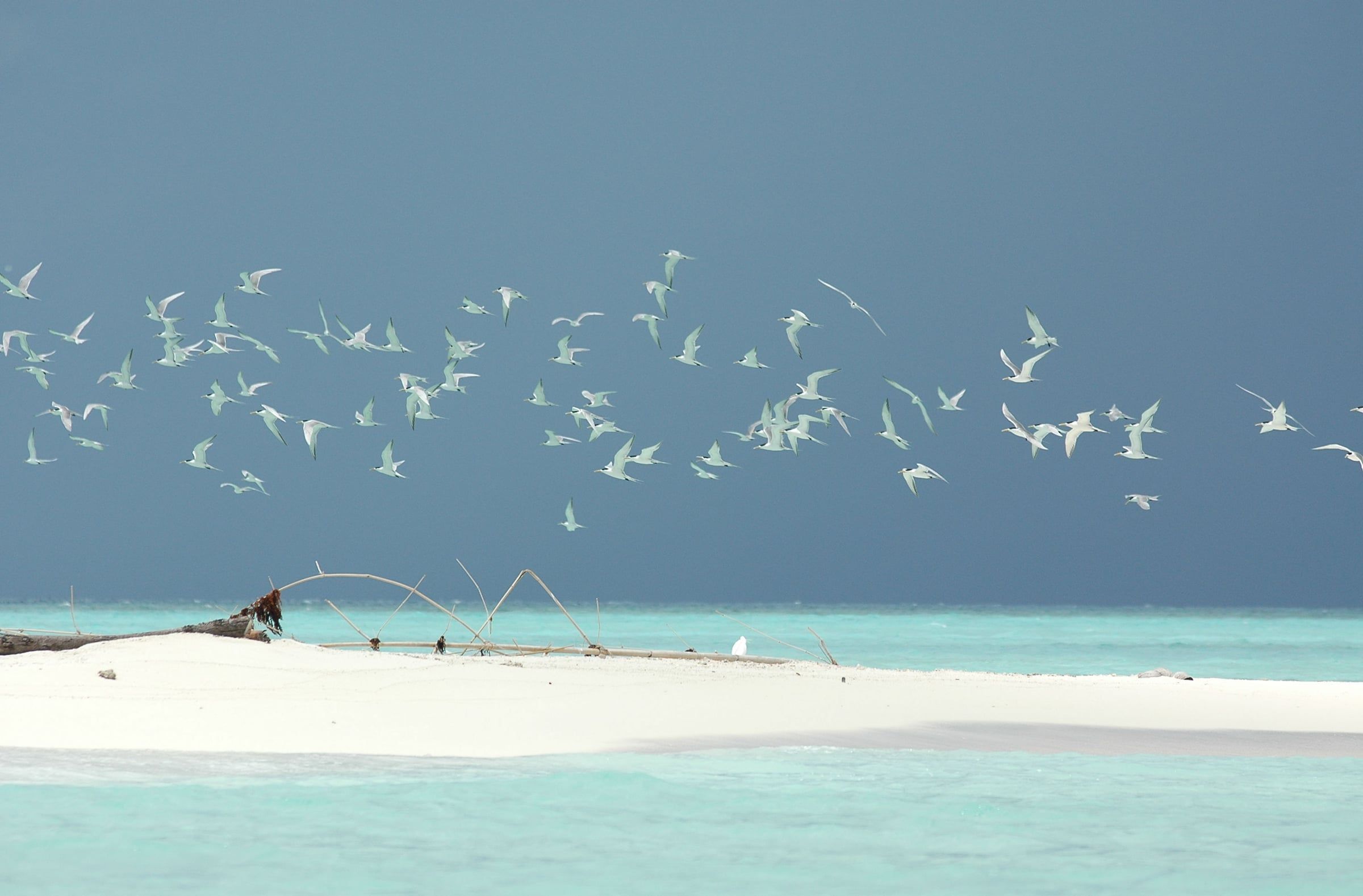
Flock of terns over a white sandbar and turquoise shallows at Tubbataha Reefs Natural Park
Tubbataha Reefs Natural ParkRon Van Oers / UNESCO, CC BY-SA 3.0 IGO, via Wikimedia Commons
LuzViMindaLife, CC BY-SA 4.0, via Wikimedia Commons

04 / 0810°24′N 119°38′E

North Central

Araceli, Dumaran, San Vicente and Roxas

14.7Kilometres of
Long Beach
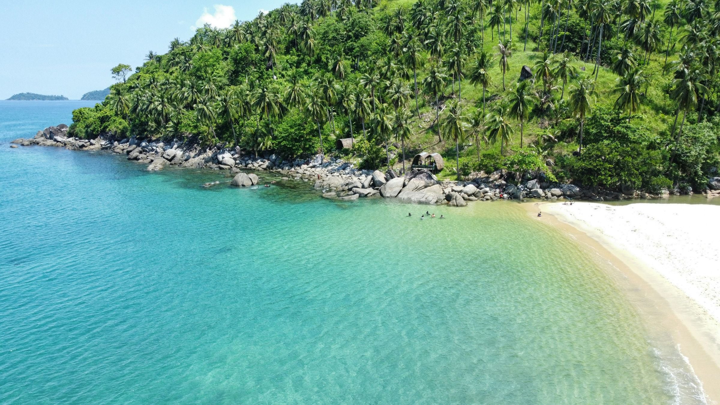
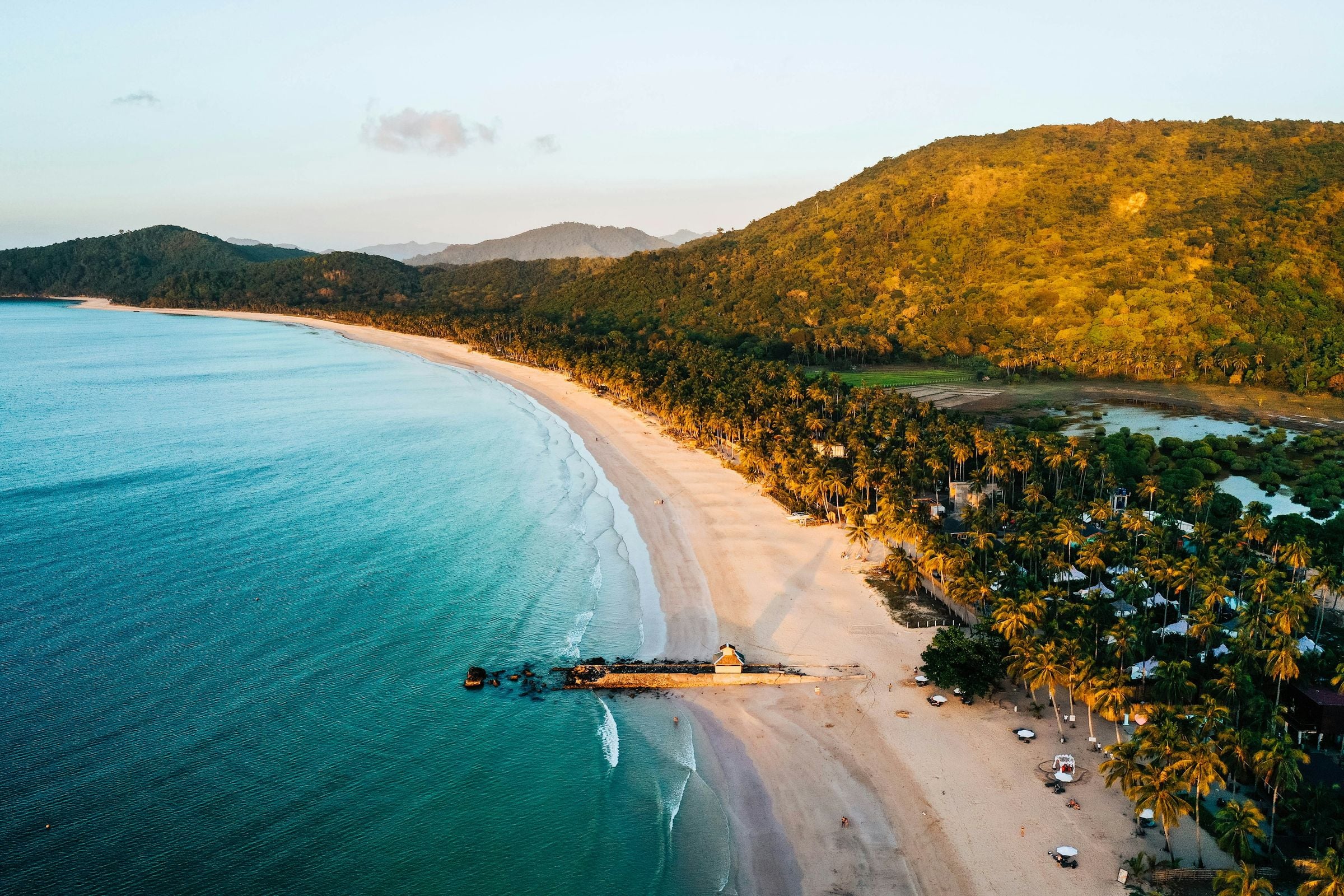
Alimanguan beach in San Vicente from the air: white sand, clear shallows and a palm-covered headland
Long BeachMichael Maga-ao, via Unsplash, Unsplash License

One mainland.
Two open coasts.

North of Puerto Princesa the mainland narrows. San Vicente faces the open sea on the west coast with the 14.7 km of Long Beach and the harbour village of Port Barton, while Roxas, Dumaran and Araceli face the Sulu Sea on the east.

Dumaran and Araceli share Dumaran Island off the northeast coast, a quieter corner where the forests still hold the Philippine cockatoo.

Explore North Central

05 / 089°54′N 118°47′E

Puerto Princesa

Puerto Princesa

Puerto Princesa

From river
to open sea.

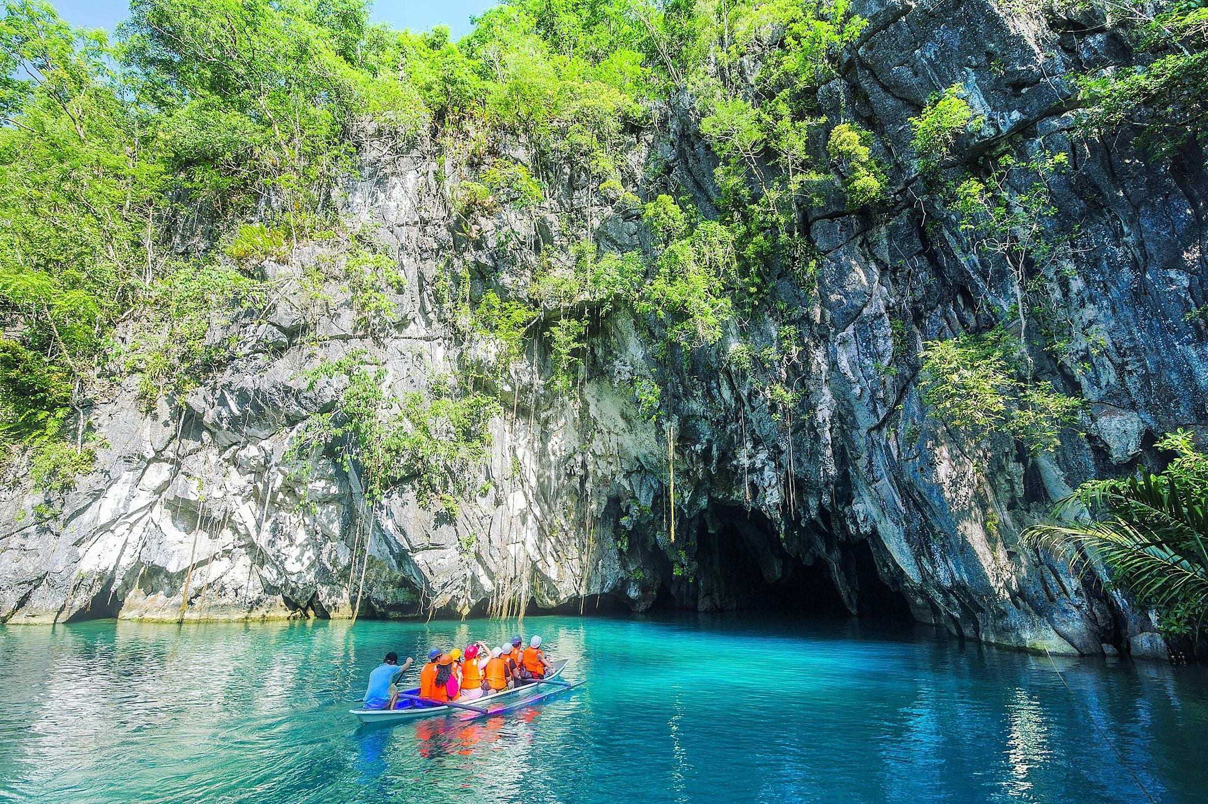
Puerto Princesa Subterranean River National ParkElaine Ore, via Unsplash, Unsplash License

The island’s gateway

Puerto Princesa is the province's highly urbanized city and its main gateway, set on Puerto Princesa Bay in the middle of the mainland. It reaches across the island to the west coast, where the Puerto-Princesa Subterranean River National Park, a UNESCO World Heritage Site, protects an underground river that runs straight into the sea.

Founded by the Spanish in 1872, it is a meeting place of many cultures, with Cuyonon families among its oldest residents.

Explore Puerto Princesa

06 / 089°18′N 118°12′E

South Central

Aborlan, Narra, Quezon and Sofronio Española

A record in the rock

The land
remembers.

Tabon CavesAlexcooper1, CC BY-SA 3.0, via Wikimedia Commons
Field note / 01

South of the city the national highway runs down the east coast through Aborlan, Narra and Sofronio Española, past rice fields and resettlement towns, while Quezon lies across the mountains on the west coast.

Field note / 02

Narra is the province's rice granary and includes Rasa Island, a refuge of the Philippine cockatoo; Quezon holds the Tabon Caves, where human fossils some 22,000 years old were found.

Explore South Central

07 / 088°19′N 117°28′E

The Far South

Brooke's Point, Rizal, Bataraza and Balabac

Between the
summit & the sea.

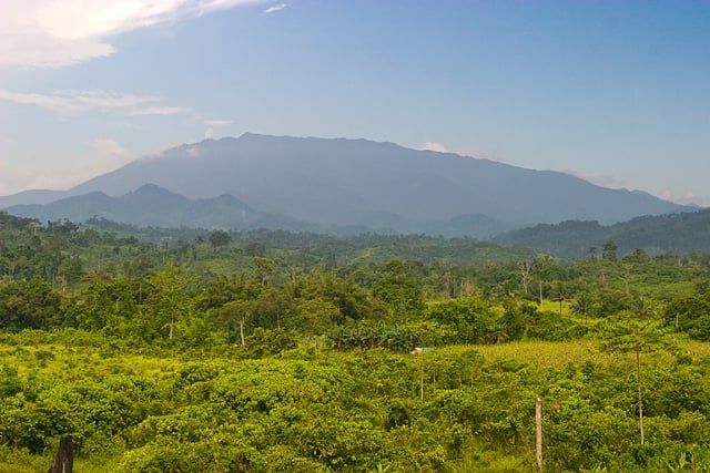
The far south is the land of Mt. Mantalingahan, at 2,085 m the province's highest peak, whose protected landscape spans Brooke's Point, Rizal and Bataraza along with Quezon and Sofronio Española. Bataraza takes the southern tip of the mainland, and beyond it the Balabac islands reach toward Sabah.

Muslim, Palaw'an and Molbog communities have long histories here, from the datus who gave Bataraza its name to the Molbog people for whom Balabac was first named.

Explore The Far South
Distant view of Mt. Mantalingahan's ridge rising over forested lowlands
Mt. Mantalingahan Protected LandscapeAlastair Robinson, public domain, via Wikimedia Commons, Public domain
Behind: Cris Tagupa, via Unsplash, Unsplash License

08 / 0811°03′N 114°17′E

Kalayaan

Kalayaan

Out in the West Philippine Sea

11°03′N

114°17′E

Barangays
1
Land
290 km²
Local government
One municipality of Palawan

Kalayaan is the Philippine municipality in the Spratly Islands, far out in the West Philippine Sea. Its single barangay, Pag-asa, is on Thitu Island, about 520 km northwest of Puerto Princesa, and all its islands and shoals are disputed.

Thitu was a military post until civilian settlement began in 2002, and the town remains the least populated municipality in the country.

Explore Kalayaan

Found nowhere else

What lives here

Palawan belongs to a different faunal region from the rest of the Philippines, and several of its animals are found here and in no other place on earth.

  • Palawan peacock-pheasantPolyplectron napoleonisPalawan only — the bird on the provincial sealVulnerableSilhouette: Yuxin Li, via PhyloPic (Polyplectron)
  • Palawan hornbillAnthracoceros marcheiPalawan and its nearby islandsVulnerableSilhouette: Rohit N, via PhyloPic (Anthracoceros)
  • Palawan pangolinManis culionensisThe Palawan faunal region, and nowhere elseCritically endangeredSilhouette: Steven Traver, via PhyloPic
  • Calamian deerAxis calamianensisThe Calamian Islands, in the far northEndangeredSilhouette: Steven Traver, via PhyloPic (Cervidae)
  • Binturong, the bearcatArctictis binturongIts own subspecies lives on PalawanVulnerableSilhouette: Margot Michaud, via PhyloPic