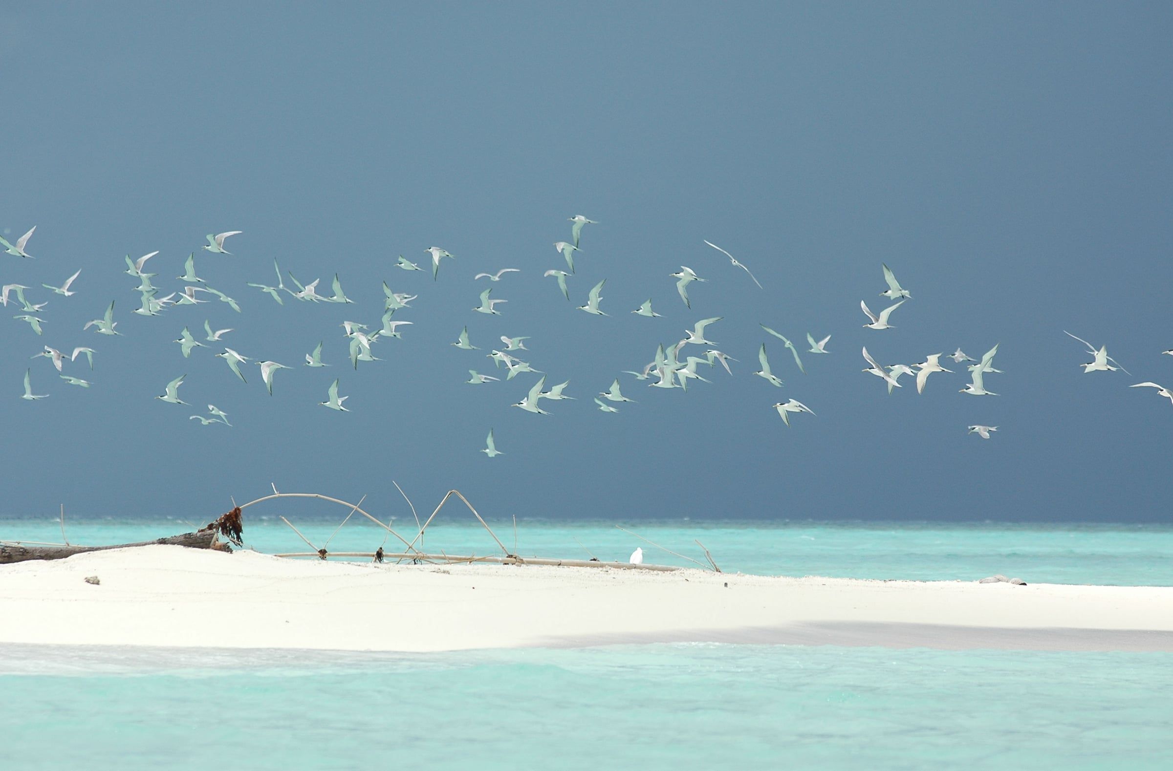
Cagayancillo is a cluster of small, low islands ringed by reefs in the middle of the Sulu Sea, about 330 km east of Puerto Princesa and nearer to Antique on Panay, some 133 km away. It is the closest settlement to Tubbataha Reefs Natural Park, the atoll reefs in the open Sulu Sea that are a UNESCO World Heritage Site.
Municipality of 12 barangays, 26.39 km² of land.
Cagayancillo is a cluster of small, low islands ringed by reefs in the middle of the Sulu Sea, about 330 km east of Puerto Princesa and nearer to Antique on Panay, some 133 km away. It is the closest settlement to Tubbataha Reefs Natural Park, the atoll reefs in the open Sulu Sea that are a UNESCO World Heritage Site.
Around Cagayancillo
Heritage
Cagayancillo Fort
A Spanish-era fort of sea rocks and lime on a high point of the coast. It encloses a church within walls 12 m high and 3 m thick.
Island
Calusa Island
An outlying island of Cagayancillo, run as an island sitio under Barangay Magsaysay.
Island
Cavili Island
An outlying island of Cagayancillo, run as an island sitio under Barangay Magsaysay.
A short history
Early settlers came from Panay and were known as skilled shipbuilders; under early Spanish rule the islands were governed from Arevalo in Iloilo.
The diamond-shaped Cagayancillo Fort, of sea rock and lime with walls 12 m high and 3 m thick around a church, took about 130 years to complete and is one of the Spanish forts that still stand in Palawan.
8°57′N 119°52′E
Tubbataha Reefs Natural Park
Diving and reefs
How to get there. By liveaboard dive boat only, a crossing of roughly 10 hours from Puerto Princesa city across the open Sulu Sea; there is no land access or day-tripping
Best time. mid-March to mid-June, the only window when the park's liveaboard season is open
Before you go
Fees, rules and schedules change. Check them with the town.
- Facebook page
- Municipal Government of Cagayancillo (Facebook)
- Local government
- Municipality of Cagayancillo
- Sources
Sources (7)
- PSGC code 1705308000 and 12 barangaysPSGC API, data from the PSA Philippine Standard Geographic Code (psgc.gitlab.io; release not stated by the mirror, counts cross-checked with psgc.cloud and PhilAtlas)
- Land area 26.39 km² (PSA 2013 figure) and barangay countCagayancillo, Palawan Profile, PhilAtlas
- Low islands with reefs; 330 km east of Puerto Princesa and 133 km from Antique; closest settlement to Tubbataha; settlers from Panay and shipbuilders; governed from Arevalo; Cagayancillo Fort and its constructionCagayancillo, Wikipedia
- Tubbataha Reefs Natural Park is a World Heritage Site of atoll reefsTubbataha Reefs Natural Park, UNESCO World Heritage Centre
- Cagayancillo FortCagayancillo - Wikipedia
- Calusa IslandCagayancillo - Wikipedia
- Cavili IslandCagayancillo - Wikipedia