Areas · 7 of 8, north to south
The Far South
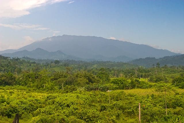
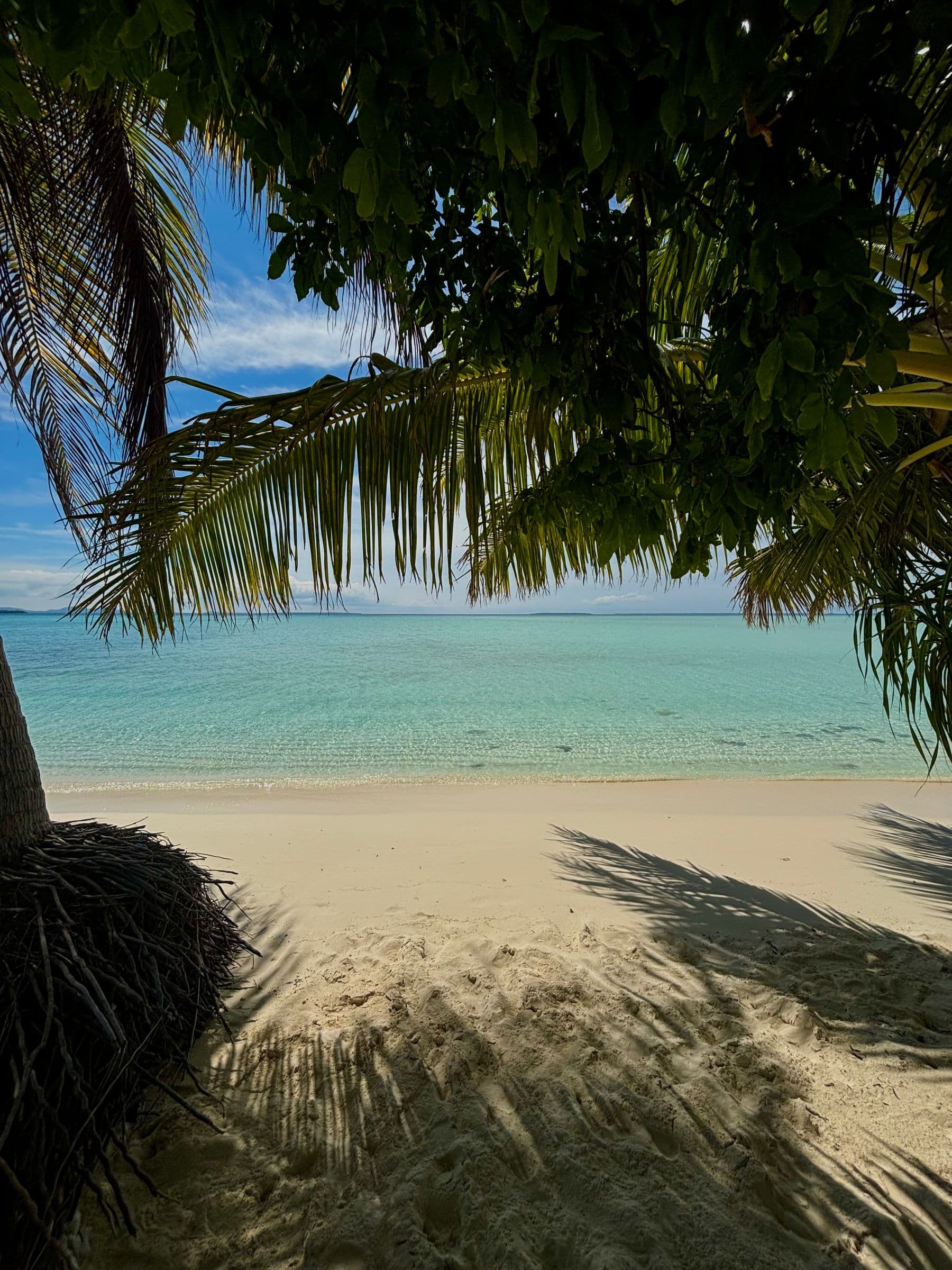
The far south is the land of Mt. Mantalingahan, at 2,085 m the province's highest peak, whose protected landscape spans Brooke's Point, Rizal and Bataraza along with Quezon and Sofronio Española. Bataraza takes the southern tip of the mainland, and beyond it the Balabac islands reach toward Sabah.

The area
Muslim, Palaw'an and Molbog communities have long histories here, from the datus who gave Bataraza its name to the Molbog people for whom Balabac was first named.

Four towns
Point at a town to find it on the map.
2 places to go
Point at a mark on the map to see the place.
Spots in The Far South
Getting around
Brooke's Point is about 190 km from Puerto Princesa by road, Rizal about 203 km and Bataraza about 218 km. The Balabac islands lie offshore beyond Bataraza.